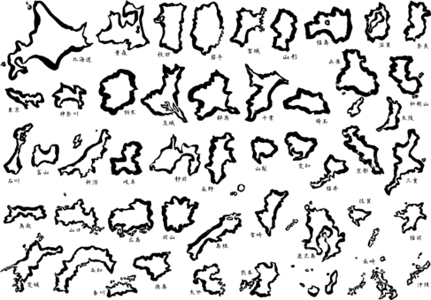
11 map of japan - brush map b

織姫 彦星 色違いセット

Design map_Saitama-Zigzag
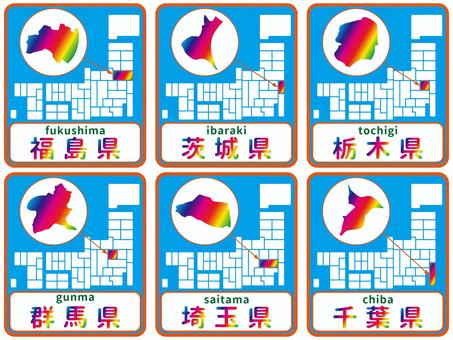
Prefecture icon B
Dot map_Saitama prefecture-Diamond 02

Kanto region
Deformed map with municipalities_Chiba 01

Kanto region silhouette set

Deformed map with municipalities_Gunma 01
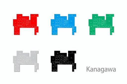
Deformed map with municipalities_Kanagawa 01

Illustration set with prefecture letters

Map of Saitama Prefecture drawn with city and town names

Saitama Illustration Set-14 Species-wh

Saitama Prefecture Illustration Set-12 Types-bk

関東(都道府県筆文字)フリー素材

Design map_Saitama-stitch

Design map_Saitama-rounded corners

Blue Kanto map set

Prefecture name seal icon set - Saitama
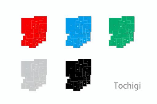
Deformed map with municipalities_Tochigi Prefecture 01

Saitama various SET_ calligraphy handwriting

Saitama illustration set-14 species-gr

Igamanju set

Saitama tourist attractions and specialty products

Saitama hand drawn set

Kanto region silhouette
![Japan Tourist Attractions 12 [Saitama], JPG, PNG and AI Japan Tourist Attractions 12 [Saitama], , JPG, PNG and AI](https://thumb.ac-illust.com/33/33e76b00ced77a0cbcea0e02b472ba31_t.jpeg)
Japan Tourist Attractions 12 [Saitama]

Kanto Prefecture

Green Kanto map set

Tanabata (3)

Japanese city name set Vol.2

Tanabata (3) monochrome line drawing

Handwritten illustration set named after Saitama Prefecture

Saitama Prefecture Illustration Set-12 Types-gry

Saitama Prefecture Illustration Set-12 Types-gr

Map of Tokyo drawn with city and town names

Map of Tochigi Prefecture drawn with city and town names

Japan of green leaves <regional division>

Seal stamp characters by region of origin/Kanto region

Prefecture icon set/Kanto region

Map of Chiba Prefecture drawn with city and town names
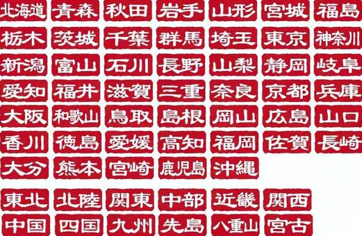
Seal-style logo character set by prefecture
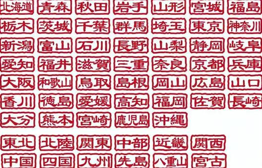
Seal stamp style transparent icon by prefecture
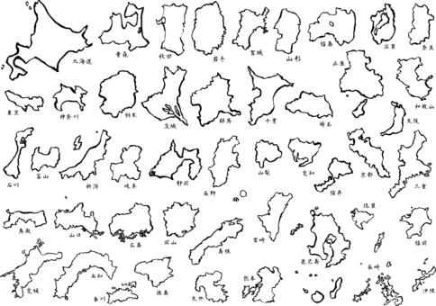
11 map of japan - brush map a

47 prefecture map

Prefectural calligraphy icons/Kanto
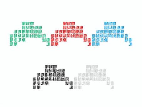
Map of Kanagawa Prefecture drawn with city and town names

Municipal map _ Ibaraki prefecture _ deformation-01

Municipality map_Gunma prefecture_Deformation-03
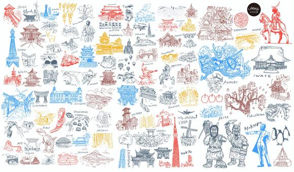
Japan's famous places and culture

Municipal map _ Ibaraki prefecture _ deformation-04

Municipal map _ Ibaraki prefecture _ deformation-05

Municipal map _ Ibaraki prefecture _ deformation-03

Municipal map _ Ibaraki prefecture _ deformation-02

Municipality map_Gunma prefecture_Deformation-09

Map of towns and villages_Gunma Prefecture_Deformation-02

saitama monochrome

Japan map ~ Regional division ~ Standard simple
![Map of Japan [9] Enter prefecture name, JPG and AI Map of Japan [9] Enter prefecture name, , JPG and AI](https://thumb.ac-illust.com/e2/e2196f778c86b08fe63571e0080b8d72_t.jpeg)
Map of Japan [9] Enter prefecture name

Kanto Region Map
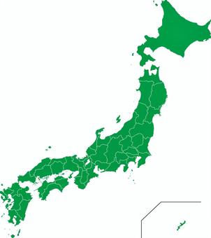
Map of Japan

Map of Japan Map of Japan Regional map
![Saitama Prefecture [Major cities included], JPG, PNG and AI Saitama Prefecture [Major cities included], , JPG, PNG and AI](https://thumb.ac-illust.com/e3/e3fdd2bbd2e9ac0e030c97cbf3b3812a_t.jpeg)
Saitama Prefecture [Major cities included]

Map of Saitama prefecture ☆ SAITAMA ☆ POP logo

Maps to avoid, maps of Japan, 46 prefectures

Saitama Prefecture

Japan map simple ☆ line drawing

A simple road map of the capital region

Map of Japan

Map of Japan layered by area
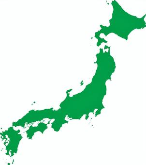
Map of Japan

Kanto region (including prefectural capitals)

White background map Japan nationwide 【Can be divided into prefectural parts】

Map of Japan (color-coded by region)

Map of Japan _ Color

Saitama

A realistic view of the Japanese archipelago (including remote islands)

Modern map of Saitama prefecture with administrative divisions (silver-gray)

Japan map with prefecture name

Map of Japan

Japan map 04

Saitama Prefecture

Map_Saitama border color-coded characters available

Realistic Japanese Archipelago

Other 033

Japan Map JAPAN MAP!

Map of Saitama Prefecture

A fluffy map of Saitama prefecture with administrative divisions

Saitama
![Map of Japan [7] by prefecture, JPG, PNG and AI Map of Japan [7] by prefecture, , JPG, PNG and AI](https://thumb.ac-illust.com/fb/fb41a2ca6a8201fdf19f24fde6624697_t.jpeg)
Map of Japan [7] by prefecture

Map of Saitama Prefecture with the name of the municipality
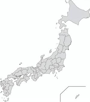
Map of Japan

Saitama
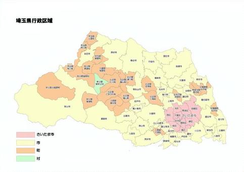
Saitama prefecture municipality municipal administrative area

Japan's hundred scenes
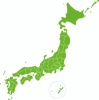
Japan Map Prefecture

Japan map simple

Japan map (by prefecture - with letters)
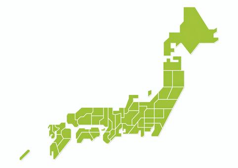
Japan map 01

A slightly loose silhouette of Saitama prefecture
1415 Darmowy clipart o .
Potrzebujesz grafiki wektorowej? Znajdź najlepsze zdjęcia o .
Wszystkie grafiki wektorowej są bezpłatne, nawet w przypadku komercyjnych projektów. Nie wymaga żadnego atrybutu.

 © 2011 - 2025 ACworks Co.,Ltd. All rights reserved.


